
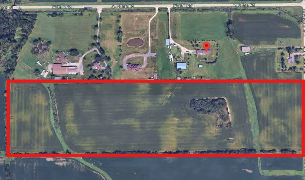
The land at a glance
Property aerial from supplied marketing materials. Red outline is approximate, not a boundary survey.
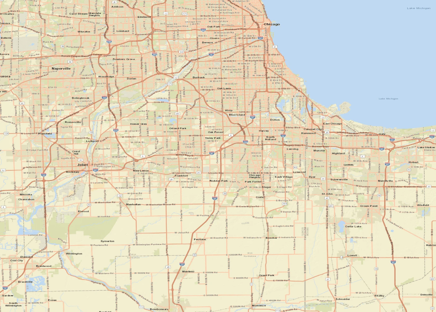
Monee and surrounding communities
Follow the named cities and I-57 corridor north toward Chicago. The red marker identifies the approximate offering parcel center.
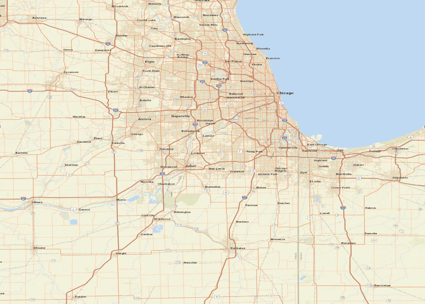
Monee in the greater Chicago region
Chicago, Joliet and Kankakee context. Red marker identifies the approximate county GIS parcel center.
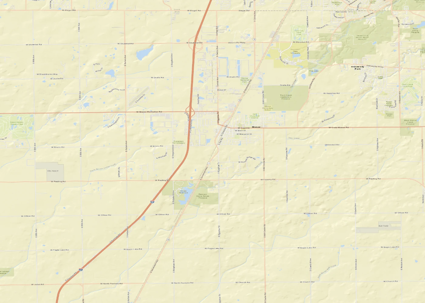
Nearby mapped energy infrastructure
Offering and selected substations. Locations support preliminary screening; proximity does not establish capacity or connection rights.
Property aerial: supplied marketing materials. Road maps: Esri and contributors; mapped substations: OpenStreetMap.
S. Egyptian Trail · Monee, Illinois
Property at a glance
- Reported acreage
- 39.97 acres · subject to survey
- Parcel number
- 20-21-05-200-014-0000
- Location
- Will Township, Section 5
- Current use
- Farmland
Proposed uses require independent review of zoning, access, utilities, environmental conditions and feasibility. Contact John for current pricing and availability.
From the Chicago region to the parcel
Locate the approximately 40-acre offering south of Offner Road, along S. Egyptian Trail. The marker is centered on the county GIS parcel for PIN 20-21-05-200-014-0000.
A wider view including Chicago, Joliet, the south suburbs and Kankakee. Red marker: approximate parcel center, not an entrance or surveyed boundary.
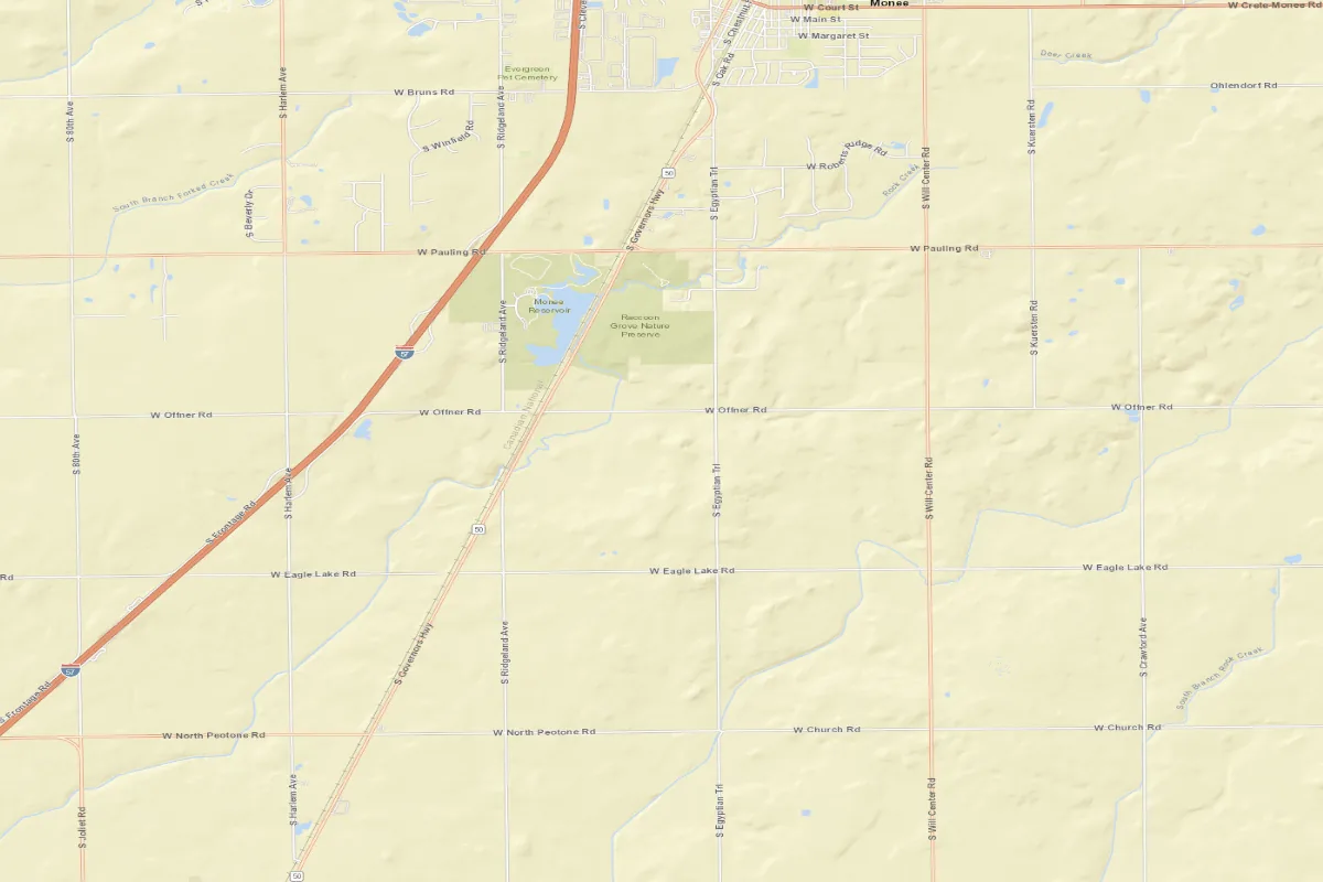
Offner Road, Egyptian Trail and the nearby I-57 corridor. Red marker: approximate parcel center, not an entrance or surveyed boundary.
Map sources: Esri, HERE, Garmin, USGS, Intermap, INCREMENT P, NRCan, Esri Japan, METI, Esri China (Hong Kong), Esri Korea, Esri (Thailand), NGCC, © OpenStreetMap contributors and the GIS User Community. Parcel location: Will County GIS, checked October 9, 2026.
Explore location on an interactive mapView the county assessment map
Coordinates identify the mapped parcel center, not a legal boundary or driveway. Verify access and boundaries against the survey, title and county records.
Energy / A site to screen
Could the land support a solar or storage strategy?
The acreage provides a starting point for a utility and land-use feasibility review. Paladin can help coordinate site screening for solar or battery energy storage, connecting land availability with the technical and approval questions that determine whether a project can proceed.
Mapped substations to investigate
| Mapped facility | Approximate straight-line distance | Source |
|---|---|---|
| 1. Woodhill Substation | 3.7 miles | Mapped location |
| 2. University Park South EC Substation | 4.1 miles | Mapped location |
| 3. University Park North EC Substation | 4.2 miles | Mapped location |
Distances are calculated from the county GIS parcel center to mapped facility centers using great-circle distance. OpenStreetMap locations were checked October 9, 2026. This is a selected-facility screen, not an exhaustive nearest-substation survey.
Woodhill is also identified in ComEd’s historical ICC testimony as a station serving industrial growth in the University Park/Monee corridor. That record documents infrastructure investment, not current solar export capacity. ComEd testimony, page 40.
Why proximity matters: distance can influence the route, easements and cost of an interconnection. The appropriate connection may be a distribution feeder rather than a direct substation connection. Utility studies must establish the workable point, voltage, export limits, upgrades and project economics.
No specific substation connection, serving feeder, available megawatts or interconnection rights have been verified for this parcel. A nearby line or substation would be a screening lead, not proof of access or capacity.
- Confirm the serving utility, parcel frontage, legal access and potential utility easements.
- Screen the proposed location against the utility’s current solar and storage hosting-capacity tools; examine both charging demand and export.
- Request utility review of the point of interconnection, circuit/substation constraints, upgrades, costs and queue timing.
- Evaluate zoning, environmental conditions, drainage, setbacks, fire access and project economics before offering an energy development commitment.
ComEd BESS hosting-capacity map · ComEd interconnection process · DOE: how hosting-capacity maps support screening
Hosting-capacity information is indicative; formal utility review determines site-specific requirements. Utility maps are linked for review rather than reproduced here. Discuss an energy site review.
Explore the drive from Chicago
Directions target the mapped parcel center. Confirm the actual entrance with Paladin before visiting.
Property materials
- Paladin property overview — October 9, 2026 (PDF)
- Will County assessment map — revised for 2025 (PDF)
- Will County Supervisor of Assessments — current parcel research. Search PIN 20-21-05-200-014-0000.
The assessment map is not a boundary survey. A current survey and updated tax details may be requested from John; no survey was located in the supplied Monee files.